
HOW TO PLAY / FIELD NOTES
SKYWARD: find your own line along the ridge
A hike is not a distance meter. Follow the terrain, cross saddles and watch the landscape change with real elevation.
- Devices
- Desktop · Tablet · Phone
- Players
- Single player
- Language & sound
- English / 中文 · Starts muted
Is this your kind of game?
For an unhurried 3D exploration session with changing scenery and weather.
Controls at a glance
Use WASD or arrow keys, Shift to hike faster, and mouse drag to look. Touchscreens use the bottom-right joystick, left-side view drag and bottom-left faster button.
Choose a scene, then read the ridge
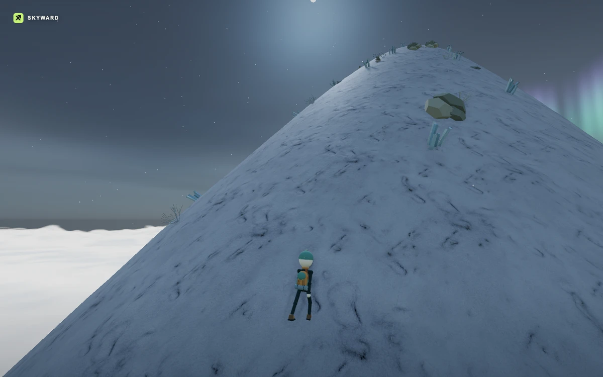
Each expedition generates terrain from your scene choice. Start by looking around, then pick a route along shoulders and saddles rather than assuming that straight toward the peak is always the most comfortable line.
Movement follows the terrain in any direction. The readout is current elevation, not accumulated walking distance: going downhill can reduce it. A lower saddle may still be the right route to the next ridge, so do not treat every decrease as lost progress.
Use the camera as a hiking tool
Turn the view to judge the slope ahead and compare nearby shoulders. A closer view can show ground detail, while a wider look helps you choose a route across the larger landform. On touch, keep movement on the right and view adjustments on the left.
As you climb, vegetation, weather and distant scenery change. Pause on a shoulder to look back; the view is part of the destination. This is a stylized world rather than a geographic elevation survey.
At the summit and beyond
The summit sequence begins when you reach the actual summit area, showing the hiker above the landscape before the planetary reveal. After the sequence, return to hiking and continue moving or adjusting the camera.
A new expedition gives another generated terrain. Explore sideways and downhill as well as upward; the highest number is a personal record, not the only reason to take another path.
Progress & backups
Your highest altitude is recorded in this browser. A new expedition generates new terrain; the local best does not promise a saved cloud copy of the entire hike.
Language follows this portal. To change it, choose EN / 中文 here and open the game again. Each visit starts with sound off; enable it in the game if you want audio.
Ready for a run?
You might also explore: SHORELIGHT FINDS · All guides
Found an outdated instruction or a control issue? Send the game name, device and steps to reproduce it to brucexiamh@gmail.com.